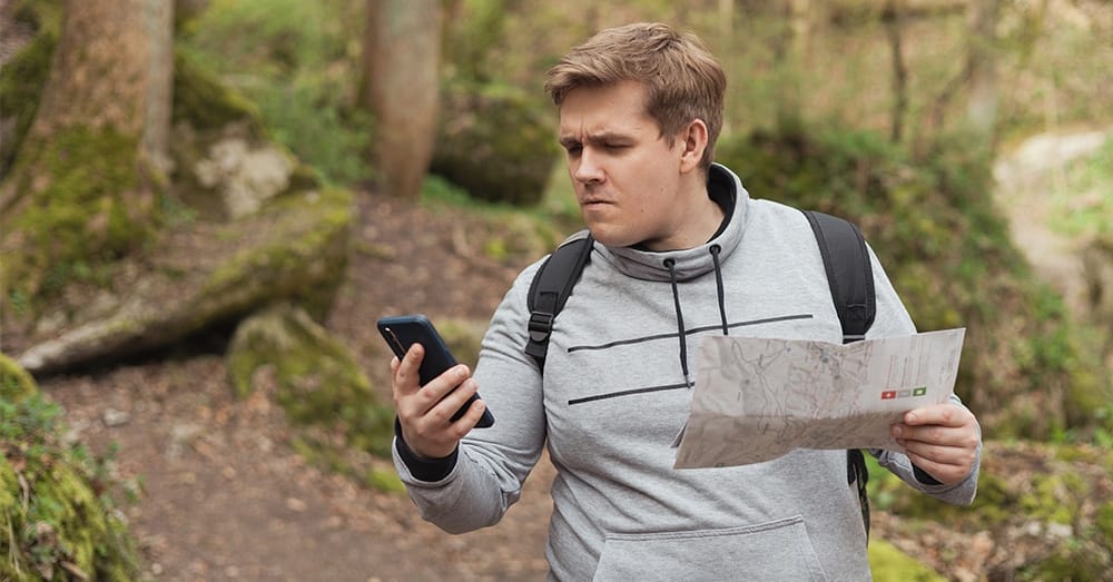
Your phone is dead. The network goes down. You’re standing at a crossroads and don’t know which way to go. That’s not a disaster, especially if you’ve already practised with a map and compass. This week you’ll learn to find your way without digital assistance.
Why this is important
GPS apps work via mobile network or satellite. During a power cut, an overloaded network or a broken phone, that navigation disappears. At the same time, people have massively forgotten how to read maps. Those who can’t do that are dependent on a device that isn’t always available.

In a crisis situation — evacuation, flooding, traffic chaos — you sometimes need an alternative route quickly. Someone who can read a paper map always has a plan B. Someone who can’t stands still.
📍Concrete task this week
Buy or print a topographic map of your own region. Learn to read your surroundings without a screen. Make one journey — on foot or by bike — completely without your phone as a guide.
How to approach it
- Visit a map or bookshop and buy a topographic map of your municipality or region at a scale of 1:25,000 or 1:50,000. In Belgium: NGI maps. In the Netherlands: ANWB or Topografische Dienst. Price: 10–15 euros.
- Learn the basic legend. Find on the map: your own house, the nearest main road, a school or church you know. Understand what the colours mean: green = forest, blue = water, yellow = built-up area.
- Buy a simple compass. Not an expensive survival model. A basic model of 5–10 euros does the job. Learn how to place it on the map and align north.
- Plan a route without Google Maps. Choose a destination 3–5 km away. Draw the route on the map. Note landmarks: church tower, railway bridge, large junction.
- Carry out the route. Leave your phone in your pocket — don’t use it for navigation. Follow the map. Make mistakes. Correct them. That’s the exercise.
- Save the map. Store it in a waterproof bag or folder. Put it in your emergency bag or car. A map is worthless if it’s lying at home.
- Learn your neighbourhood by heart. Take five minutes to memorise the main roads, shelters and exit routes of your municipality. Write them on a credit card-sized card.
What do you need?
- Topographic map of your region (10–15 euros)
- Basic compass (5–10 euros)
- Waterproof map folder or ziplock bag (1–3 euros)
- Pencil or pen to draw routes
- Optional: kilometre ruler for distance estimation
Common mistakes
Mistake 1
Never opening the map until it’s needed. A map you don’t know won’t help you. You must explore it beforehand so that the symbols are familiar.
Mistake 2
Using the compass as decoration. A compass only helps if you know how to orient it on a map. Look up a 5-minute explanation once — that’s sufficient.
Mistake 3
Choosing too large a map scale. A map of the whole of Belgium or the Netherlands is too vague for local-level navigation. Choose a scale that shows details.
Mistake 4
Leaving the map at home. Your emergency bag is complete but the map is lying in a drawer. Store it where you need it: in the car, in the bag, not in a cupboard.
Mistake 5
Forgetting that children can learn this too. Map reading is a skill for the whole family. Make it a short family exercise — that increases everyone’s self-reliance.